The PHILSENSORS
Since 2010, our local experts developed a system of hydrometeorological and early warning stations collectively known as PhilSensors. Over 2,000 PhilSensors were strategically deployed nationwide in vulnerable calamity areas, contributing to providing remote data for weather forecasting, flood monitoring, and agrometeorology
Data collected from these PhilSensors are recorded near-to-real time at the Philsensors website for public use. DOST-ASTI provides historical data sets based on the duration needed by the requestee. DOST-ASTI also allows government and academe institutions to access weather data, both historical and real-time, via Application Programming Interface (API) for forecast and research purposes.
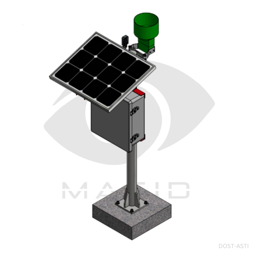
Automated Rain Gauge (ARG)
Measures rain amount, duration and intensity
Measure air pressure and temperature
One tip = 0.5 mm of rain

Sends data via GSM or satellite network
Uses solar panel
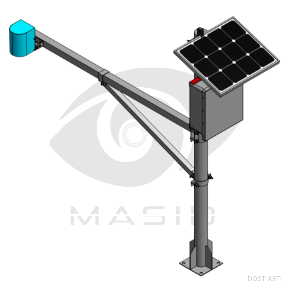
Automated Weather Stations (AWS)
Measures air humidity, wind speed, wind direction, solar radiation, rain amount
Measure air pressure and temperature
Sends data via GSM or satellite network
Uses solar panel
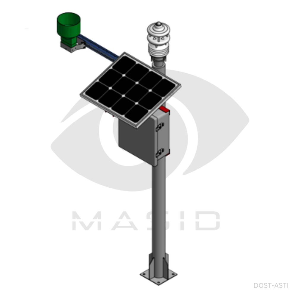
Waterlevel Monitoring System (WLMS)
Measures the rate of water inundation
Measure air pressure and temperature
Sends data via GSM or satellite network
Uses solar panel
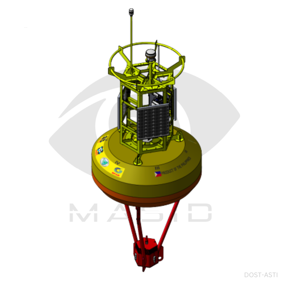
Meteorological Buoy (METBUOY)
Measure air pressure and temperature
Measures wind speed and angle
.png)
Measures water quality
Uses solar panel
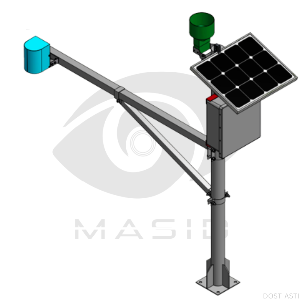
WLMS & ARG (TANDEM)
Measures rain amount, duration and intensity
Measures the rate of water inundation
Measure air pressure and temperature
One tip = 0.5 mm of rain
Sends data via GSM or satellite network
Uses solar panel
P- and V-Poteka (ULAT)
Establish a Dense Lightning Network
.png)
3D Render of Clouds through Satellite Imagery
Develop an Algorithm for Short-Term Forecast
Data sharing for Disaster Management